UK weather: Heavy snow warning as cold weather alert issued across England – but flooding may arrive first


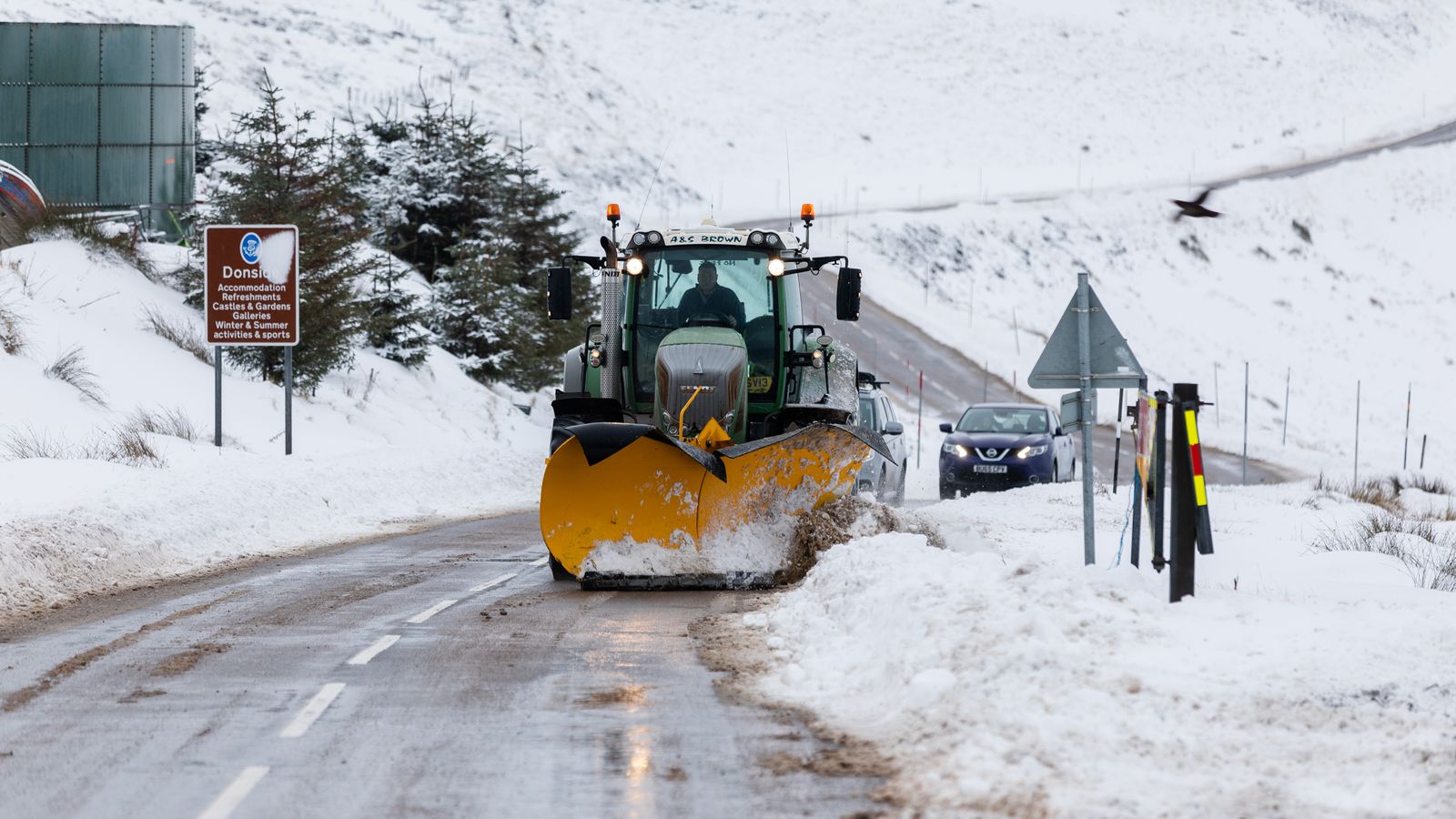
Heavy snow could fall in large parts of England within the next week as the UK braces for several days of unstable weather, with a cold weather alert coming into force and dozens of flood warnings already in place.
The Met Office has issued yellow warnings for rain for Wales and many areas in England, lasting from Friday night to Saturday lunchtime, and one for Northern Ireland from 2pm on Saturday until 3am on Sunday.
Between 20mm and 30mm of rain is likely to fall widely, with some seeing more than 50mm – including southwest England and the Brecon Beacons.
Strong winds are also expected, with gusts of 40-50mph and possibly 60mph on exposed coasts in the south.
As of the early hours of Saturday, there were 81 flood warnings in place across the UK, meaning flooding is expected, and more than 150 flood alerts, meaning flooding is possible.
Forecasters are warning that bus and train services will probably be affected, while spray and flooding is set to make journey times longer by road too.
Out with the rain, in with the snow?
Once the wet and windy weekend is out of the way, snow could follow.
The level two cold weather alert runs from 6pm on Sunday to 9am on Thursday across the North, the Midlands, and central and eastern parts of England.
Advertisement
The Met Office says there is a 70% probability of severe cold weather, icy conditions and heavy snow, and advises people in those regions to stock up on food and medicines to reduce the need to go outside.
London, the South, and South West are covered by a level one alert – warning people to stay vigilant.
Sky News weather presenter Kirsty McCabe said it would be getting “much colder”, as a jet stream “plunges south, dragging cold air from the north across the UK”.
Expect “significant wind chill”, she warned, with “an increasing risk of winter hazards such as snow and ice”.
The unwelcome weather comes as parts of the country recover from already severe flooding this week, after heavy downpours left roads and fields underwater – and threatened homes.
In York, levels on the River Ouse were about 3.8m above normal and predicted to rise further overnight.
Shrewsbury in Shropshire saw flooding cause “gridlock” in the town centre, while people in Keynsham, Somerset, required rescuing from submerged vehicles in Old Bristol Road.
The town’s local football club posted images of their pitches looking like swimming pools and joked about needing a water polo team instead.
The Environment Agency’s Mark Garratt has advised people to check their local flood risk, to stay away from swollen rivers and not drive through floodwater.
“The Environment Agency is monitoring flood levels, operating flood gates and barriers at locations across the country, and ensuring debris screens are clear from blockages to ensure communities are better protected,” he said.
Rod Dennis, from the RAC, said driving in floodwater was “never worth the risk” as it can endanger passengers and potentially “cause catastrophic damage” to vehicles.
“We encourage all drivers to turn around and find another route if they encounter deep standing water,” he said.