NASA and ISRO Prepare to Launch NISAR Earth-Mapping Satellite

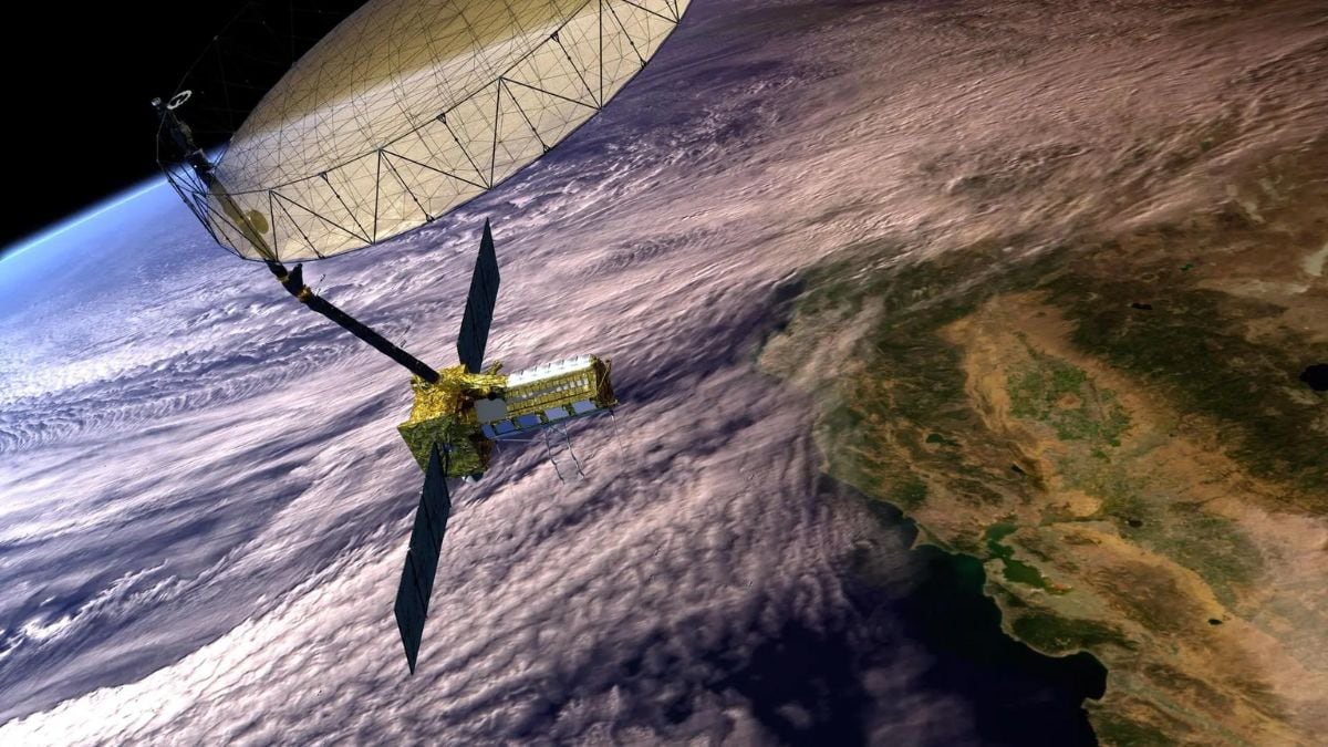
NASA’s NISAR Earth-observing satellite (concept image shown) will carry an advanced dual-band radar system to map Earth’s land and ice in 3D. NASA will host a news conference at 12 p.m. EDT on Monday, July 21, to preview this mission and its science objectives. The NISAR satellite is a first-of-its-kind collaboration between NASA and India’s ISRO and is designed to deliver unprecedented 3D views of Earth and detect movements down to the centimeter. Launch is targeted for no earlier than late July from ISRO’s Satish Dhawan Space Centre in Sriharikota, with NASA’s Jet Propulsion Laboratory streaming the briefing live online.
According to NASA, NISAR (NASA-ISRO Synthetic Aperture Radar) is an Earth-observing satellite being developed jointly by NASA and India’s ISRO. For the mission hardware, NASA’s Jet Propulsion Laboratory (JPL) provided the L-band radar and key electronics, while ISRO contributed the S-band radar, spacecraft bus and launch vehicle. The satellite carries these twin radar systems to systematically map the planet’s land and ice surfaces. Using synthetic aperture radar (SAR), it will scan nearly all land and ice twice every 12 days. Managed by JPL, NISAR is set to lift off from ISRO’s Satish Dhawan Space Centre in Sriharikota no earlier than late July 2025. After deployment, it will orbit Earth regularly, relaying high-resolution radar imagery for scientists worldwide.
NISAR will make centimeter-precise measurements of Earth’s surface dynamics. Its dual-band radar design is key: the L-band radar (25 cm wavelength) can penetrate vegetation and soil, while the shorter S-band (10 cm) is more sensitive to fine surface details. Each frequency’s return reveals different features — moisture levels, surface roughness and motion. Combined, they can detect tiny elevation changes across wide areas, helping scientists monitor natural hazards and environmental change.
For example, NISAR data will map ground deformation before and after earthquakes or volcanic eruptions. And because the radar can see through clouds, it will be invaluable for disaster response, mapping floods and storm damage even during hurricanes or heavy rain.